
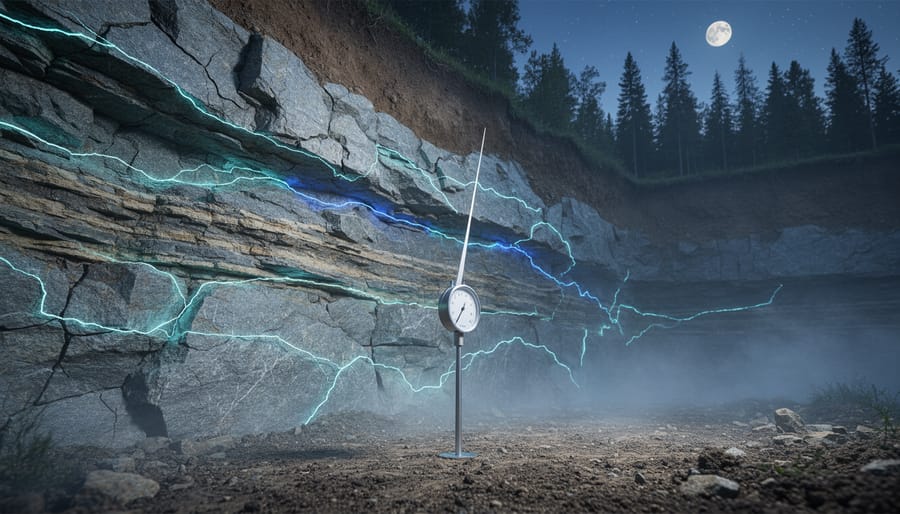

Recent seismic activity refers to earthquakes and ground movements detected and recorded by monitoring networks over the past days and weeks, helping scientists track how stress accumulates and releases along underground fault systems. Throughout August 2026, Canadians have felt this reality firsthand, with notable tremors rippling through British Columbia and Quebec, including a magnitude 4.4 event southwest of Port Hardy on July 31 and a magnitude 2.8 shake near Quebec City on August 2.
These events aren’t isolated incidents. They’re windows into the hidden architecture beneath our feet, revealing how ancient fault networks remain active and how energy moves through bedrock in patterns we’re only beginning to map with precision. For communities across Canada, particularly those invested in underground infrastructure like geothermal systems, tunnels, and green energy projects, understanding what triggers these movements matters deeply.
This article unpacks what recent Canadian seismic events tell us about fault behavior, why certain regions experience recurring activity, and how modern monitoring transforms raw ground motion data into actionable insights. You’ll discover how seismologists distinguish between different earthquake types, what the depth and location of tremors reveal about subsurface geology, and how this knowledge shapes everything from building codes to the placement of renewable energy installations.
The story unfolding beneath Canada’s landscape connects directly to how we design sustainable infrastructure. Each recorded tremor adds another data point to our understanding of where the earth is stable, where it shifts, and how we can build resilient communities that work with geological realities rather than against them.
What Seismic Activity Reveals About Canada’s Underground Fault Networks
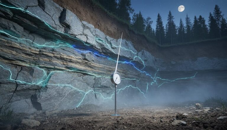
When the ground shakes beneath our feet, we’re experiencing the surface expression of a much larger underground story. Seismic activity is simply the release of energy stored in Earth’s crust, occurring when rocks along fault lines, fractures in the bedrock where blocks of earth move relative to each other, suddenly slip past one another. These fault lines exist throughout Canada, from the well-known boundaries of tectonic plates along British Columbia’s coast to the less obvious fractures threading through Quebec’s ancient bedrock.
During an earthquake, the accumulated stress on a fault exceeds the friction holding the rocks in place. That sudden movement sends seismic waves rippling through the ground in all directions, like dropping a stone in water. The point underground where this rupture begins is the hypocenter, while the spot directly above it on the surface is the epicenter. Understanding these basic concepts helps make sense of what scientists measure when earthquakes occur.
- Fault line
- A fracture or zone of fractures in bedrock where blocks of earth have moved or can move relative to each other, storing stress that may eventually release as an earthquake.
- Seismic wave
- Energy waves that travel through Earth’s layers when an earthquake occurs, detected by seismographs and used to determine an event’s location and characteristics.
- Magnitude
- A numerical measure of an earthquake’s size based on the energy released, typically reported on the moment magnitude scale where each whole number represents about 32 times more energy.
- Epicenter
- The point on Earth’s surface directly above where an earthquake rupture begins underground.
- Hypocenter (depth)
- The actual underground location where fault rupture initiates, measured in kilometers below the surface and crucial for understanding which geological structures are active.
- Tectonic plate boundary
- The edge where two of Earth’s massive crustal plates meet, creating zones of intense geological activity like British Columbia’s coast where the Pacific and North American plates interact.
Even moderate-magnitude events provide scientists with crucial snapshots of subsurface geology. When a magnitude 4.4 earthquake occurs 212 kilometers southwest of Port Hardy or a magnitude 2.3 tremor strikes near Saint-Donat-de-Montcalm, seismographs across the country record precise arrival times of different wave types. This data reveals which faults are active, how stress distributes through regional networks, and where underground structures might pose risks to tunneling projects or sustainable infrastructure development. Each earthquake essentially illuminates a piece of Canada’s hidden geological architecture.
How Canada Detects and Maps Underground Earthquakes

What Makes an Earthquake ‘Significant’
Not every earthquake makes headlines, and that’s actually a good thing for scientists studying Canada’s underground fault networks. Seismologists classify an event as significant based on several intersecting factors, not just magnitude alone.
A magnitude 4.4 earthquake 212 km offshore from Port Hardy matters less to communities than a magnitude 2.8 event 12 km from Quebec City, even though the former releases far more energy. Proximity to population centers, critical infrastructure, and sensitive underground projects immediately elevates an event’s significance. The recent Saint-Donat-de-Montcalm tremor at magnitude 2.3 drew attention precisely because it occurred near populated areas where people felt it, generating valuable reports about shaking intensity and structural response.
Location itself can make a moderate event scientifically significant. When earthquakes strike in regions with historically low seismic activity, they reveal previously unmapped fault segments or suggest stress migration along connected fault systems. Unusual depth can also flag significance, very shallow events often cause disproportionate shaking, while unusually deep tremors might indicate different geological processes at work.
Even small earthquakes matter tremendously for mapping fault networks. Each event, regardless of size, adds a data point that helps seismologists trace fault geometry, identify active segments, and model stress distribution underground. Those magnitude 2 to 3 events that barely make the news often provide the clearest pictures of how complex fault systems actually connect beneath our feet, informing everything from building codes to sustainable infrastructure planning.
Recent Earthquake Patterns Across Canada: What the Data Shows
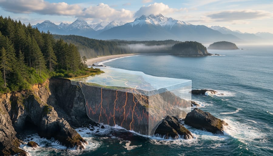
Summer 2026 has seen a revealing pattern of seismic events across Canada, highlighting the country’s diverse geological zones and the distinct fault mechanisms at work beneath different regions. Between late July and early August, verified earthquake data shows significant activity in two geologically contrasting areas: British Columbia’s coastal region and Quebec’s stable shield terrain.
Recent events tracked by NRCan recent earthquakes include:
- August 7: M4.3 event 79 km WNW of Daajing Giids, BC, along the coastal fault system
- August 1 and July 31: Two M4.4 events approximately 200 km SW of Port Hardy, BC, indicating offshore plate boundary activity
- August 8: M2.3 event near Saint-Donat-de-Montcalm, QC, within the ancient Canadian Shield
- August 2: M2.8 event 12 km WSW of Quebec City, demonstrating intraplate seismicity
These patterns reveal fundamentally different underground processes. The Vancouver seismic activity and broader BC coastal events reflect the active Pacific-North American plate boundary, where the Juan de Fuca plate continues its ongoing subduction beneath the continental margin. The moderate magnitudes and offshore locations are typical of this dynamic convergent zone, where strain accumulates along complex fault networks.
Quebec’s events tell a completely different geological story. These smaller-magnitude earthquakes occur within the stable Precambrian Shield, far from any active plate boundary. This intraplate seismicity results from ancient fault zones reactivating under regional stress, often related to glacial isostatic adjustment as the land continues its slow rebound from the weight of ice age glaciers. The contrast between these two zones demonstrates why understanding local fault network behaviour requires region-specific monitoring approaches rather than one-size-fits-all assumptions about Canadian seismic risk.
Different Types of Seismic Activity in Canadian Underground Environments
Canada’s underground environments experience four distinct categories of seismic activity, each revealing different aspects of our geological foundation. Understanding these types helps explain why earthquakes occur in diverse regions, from the Pacific coast to the stable interior, and what they tell us about subsurface conditions.
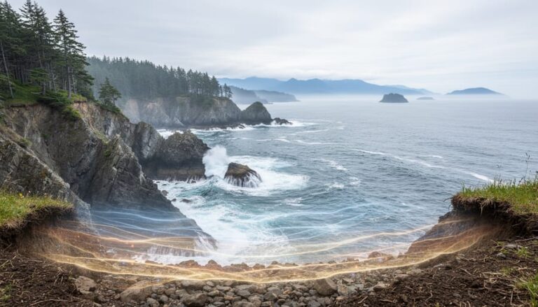
Tectonic earthquakes along plate boundaries dominate British Columbia’s seismic landscape, where the Juan de Fuca Plate slides beneath the North American Plate. The summer 2026 events southwest of Port Hardy (M4.4 on July 31 and August 1) and west of Daajing Giids (M4.3 on August 7) exemplify this active margin activity. These earthquakes occur as oceanic crust grinds against continental rock, building stress that releases periodically. The Pacific margin generates Canada’s strongest seismic events and provides crucial data about subduction zone mechanics.
Intraplate earthquakes strike within stable continental crust, far from plate edges. The Quebec events near Saint-Donat-de-Montcalm (M2.3 on August 8) and west of Quebec City (M2.8 on August 2) occur within the ancient Canadian Shield, where billion-year-old rock occasionally shifts along pre-existing weaknesses. These events puzzle geologists because they happen in regions considered geologically stable, revealing that even old fault systems remain capable of movement.
Induced seismicity results from human activities like resource extraction, wastewater disposal, or reservoir filling. While less common than natural earthquakes, these events provide valuable information about subsurface stress conditions and fluid movement through rock formations. Monitoring induced seismicity helps engineers optimize sustainable resource development while minimizing underground disturbance.
Glacial isostatic adjustment represents Canada’s unique geological situation. As massive ice sheets retreated 10,000 years ago, the land beneath began slowly rebounding upward. This ongoing uplift, still measurable today, occasionally triggers small earthquakes, particularly around Hudson Bay and the Great Lakes. These events reveal how Earth’s crust continues adjusting to dramatic environmental changes from the last ice age.
How Seismic Data Informs Sustainable Underground Projects
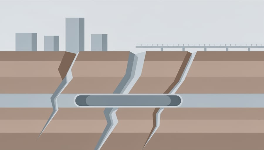
Seismic data has become an essential planning tool for sustainable underground development across Canada. Engineers now routinely consult fault network maps before breaking ground on major projects, using decades of earthquake records to identify stable zones and avoid areas prone to ground movement. This geological intelligence shapes everything from urban transit tunnels to next-generation renewable energy installations.
Geothermal energy projects depend heavily on seismic mapping to locate optimal drilling sites. Understanding fault networks helps developers identify zones where heated water circulates through fractured rock, prime candidates for extracting geothermal heat, while avoiding fault segments that might shift during drilling operations. The benefits of going underground for renewable energy become clearer when seismic data confirms geological stability at depth.
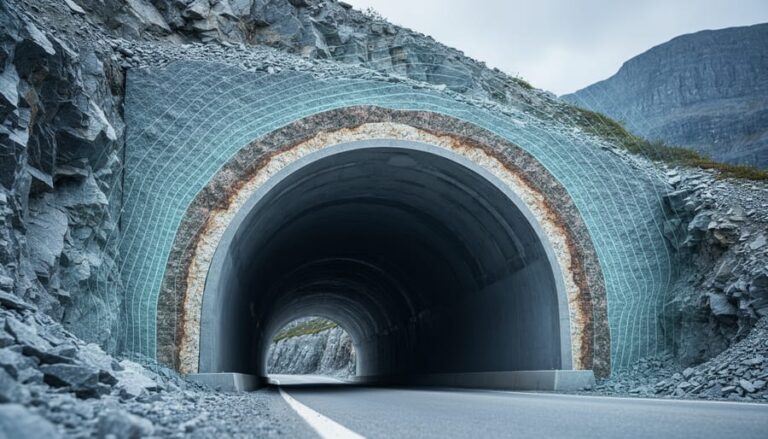
For tunneling projects, seismic records inform both route selection and construction techniques. The basics of tunneling now include detailed fault assessments to determine appropriate tunnel depths, reinforcement requirements, and emergency protocols. A subway tunnel crossing a known fault zone requires different engineering approaches than one through seismically quiet bedrock.
Carbon sequestration planning presents similar challenges. Storing captured CO2 underground demands sites where rock formations remain stable over centuries. Seismic monitoring provides confidence that injection sites won’t experience fault movement that could compromise containment. Engineers analyze historical earthquake patterns to model long-term geological behavior and verify that storage reservoirs will maintain their integrity.
This fusion of seismic science and sustainable infrastructure design represents a practical application of earthquake monitoring that extends well beyond emergency response, turning geological data into a foundation for Canada’s green energy future.
Common Questions About Earthquake Monitoring and Fault Networks
How accurate is earthquake location data in Canada?
Natural Resources Canada can locate most earthquakes within a few kilometres horizontally, though accuracy depends on the number and proximity of monitoring stations. Depth estimates typically carry higher uncertainty, often within 5-10 km of the actual source.
Can we predict earthquakes from recent activity?
No. While recent events like the August 2026 British Columbia and Quebec earthquakes tell us which faults are active, they don’t indicate when the next earthquake will occur. Scientists can identify high-risk zones but cannot predict specific timing.
What does earthquake depth reveal about fault systems?
Depth indicates where stress is accumulating in the crust. Shallow events (less than 10 km) often reflect activity on known surface faults, while deeper earthquakes can reveal hidden structures or zones where rock properties change.
Why do some regions experience clusters of earthquakes?
Clusters happen when an initial earthquake transfers stress to nearby faults, triggering secondary events. Regional geology also matters, areas with complex fault networks or ongoing tectonic adjustments naturally produce more frequent activity.
How does Canadian monitoring compare internationally?
Canada operates a robust network of over 200 seismograph stations covering both high-risk coastal zones and stable interior regions. While regions like Japan and California have denser networks due to higher earthquake frequency, Canada’s system effectively monitors our diverse geological settings.
These questions reflect what matters most to communities living above fault networks: understanding the science behind the maps, recognizing what monitoring can and cannot tell us, and appreciating how Canada’s systems keep pace with global standards. The summer 2026 earthquakes in British Columbia and Quebec demonstrate this network in action, capturing events ranging from moderate offshore activity to smaller intraplate tremors that reveal stress patterns beneath stable shield rock. Each detected event adds another data point to our evolving picture of underground fault behaviour.
Join the Conversation: Community Seismic Monitoring
You don’t need specialized equipment or a geology degree to contribute to Canada’s seismic monitoring efforts. Natural Resources Canada’s “Did You Feel It?” program welcomes reports from anyone who experiences ground shaking, and these citizen observations help scientists refine earthquake locations and assess impact zones. When you submit a felt report within hours of an event, you’re adding valuable data points that seismographs can’t capture, how structures responded, whether objects moved, and what the shaking actually felt like at ground level.
For those wanting deeper involvement, several universities and research institutions across Canada operate citizen science seismograph networks. You can host a low-cost sensor in your home or school, contributing real-time data to national monitoring systems while learning how detection technology works. These programs often include online training modules and community forums where participants discuss recent events and share observations from different regions.
SubterraPulse readers passionate about Canada’s underground environments can also participate in geological surveys, volunteer for educational outreach programs, or advocate for seismic resilience measures in their municipalities. An engaged community that understands fault networks and earthquake science becomes a powerful force for safer infrastructure planning and smarter sustainable development decisions.
The next time you feel the ground move beneath your feet, remember that your observation matters. By combining professional monitoring networks with widespread community awareness, we’re building a more comprehensive picture of Canada’s seismic landscape, one that will inform the green energy projects, tunneling initiatives, and resilient infrastructure our future demands.






+ There are no comments
Add yours