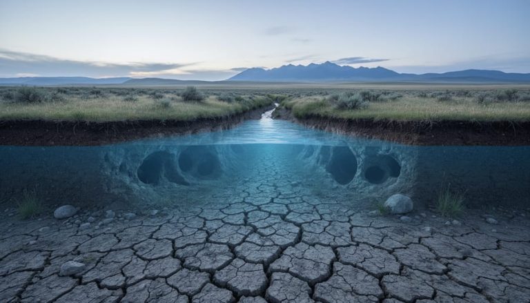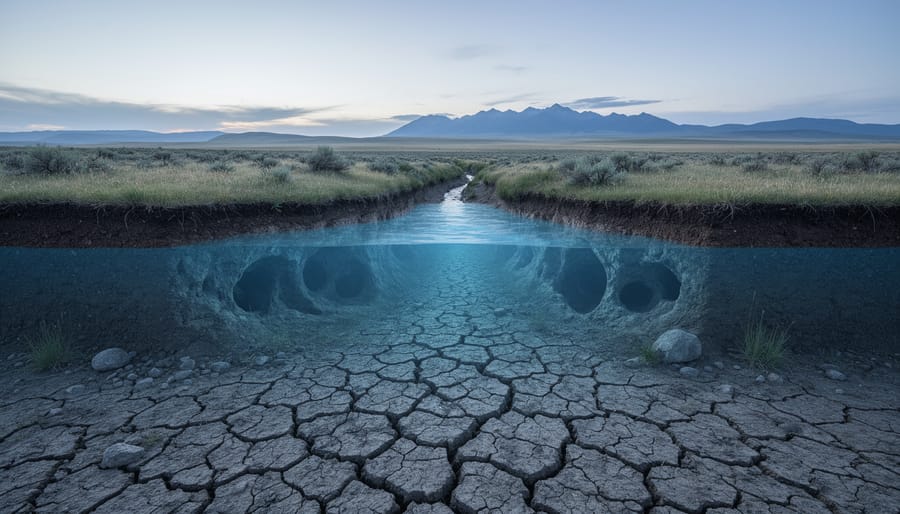

A drought is a prolonged stretch of below-normal water supply, whether from missing rain, missing snow, or both, that leaves rivers, soils, and underground reserves running short. It rarely arrives with a bang. Most droughts creep in, and the first place the damage shows up is often out of sight: falling water tables, shrinking aquifers, and the cave and karst systems that depend on a steady trickle from above.
That hidden toll matters here in Canada. During 2021, the Canadian Prairies experienced severe drought, a reminder of how quickly a dry spell can strain the water people count on. A recent study, “Creeping snow drought threatens Canada’s water supply,” published in Communications Earth and Environment, used multiple satellites and climate reanalysis to calculate how much usable water is stored in snow and where it sits. Its finding on the Rockies is stark: snow storage there has seen a significant decline, and changes in those deposits could have an outsized effect on a large portion of the population. Ali Nazemi calls it a “creeping drought,” one that’s very hard to detect until you’re in the middle of a crisis.
Here’s the hopeful part. Better measurement means earlier warning, and earlier warning gives communities time to act. This article explains how droughts unfold, the main types, what they do beneath our feet, and how you can help protect the groundwater we all share.
What a Drought Really Means (Above and Below Ground)
A drought is a prolonged water shortage a stretch of time when a region gets less water than it normally counts on. That’s the plain-language version. One dry afternoon isn’t a drought, and neither is a rainless week. It’s the slow build-up of missing rain and snow that matters.
What makes droughts tricky is that the surface tells only half the story. Cracked fields and low rivers are easy to spot. The bigger reserve sits underground, in soil, rock, and the cave and karst systems that thread beneath Canada. That’s where water is stored for the long haul, so it’s also where a shortage shows up last and lingers longest. Researchers have described this kind of slow-moving problem as a “creeping drought” that can be very hard to detect until you’re in the middle of a crisis.
Here are a few terms that will help as we go:
- Drought
- A long period when water supply falls well short of what an area normally receives and uses.
- Water table
- The underground level below which soil and rock are completely saturated with water. It rises and falls with wet and dry spells.
- Aquifer
- A layer of rock, sand, or gravel that holds groundwater and lets it flow, like a natural underground reservoir.
- Karst
- A landscape shaped by water dissolving rock such as limestone, producing caves, springs, and sinkholes.
- Groundwater recharge
- The process of rain and snowmelt soaking down through soil and rock to refill aquifers.
- Snowpack
- Snow that piles up over winter and acts as a frozen water bank, releasing meltwater in spring and summer.
With those terms in hand, the picture gets clearer. When less snow falls or the snowpack shrinks, less meltwater soaks in, recharge slows, and the water table starts to sink. Because that decline happens out of sight, it can quietly continue even after the skies look normal again.
How Droughts Work: From Missing Snow to Shrinking Aquifers
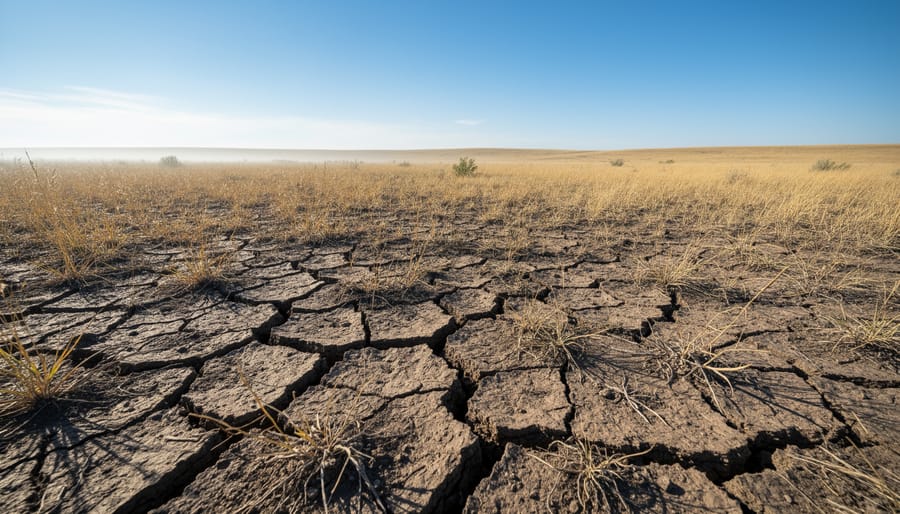
The Journey of Water Underground
When snow melts or rain falls, not all of it runs off into rivers. Some of it soaks in, slipping through soil and then down into the tiny cracks and pore spaces of rock below. This slow trickle is called recharge, and it’s how aquifers, those underground layers of rock and sand that hold water, get refilled.
Picture a single snowflake landing on a Rocky Mountain slope. In spring it melts, seeps past the roots, and keeps sinking until it reaches saturated ground. The top of that saturated zone is the water table.
Think of the water table as a slow-moving tide. It rises after wet seasons and drops when recharge slows or wells draw water out. The difference is the pace: this tide moves over months and years, not hours, and that’s exactly why underground changes are easy to miss.
Why Underground Effects Arrive Late and Linger
Surface dryness is quick to notice. Grass browns, streams drop, and rain gauges tell the story within weeks. Underground, the news travels much more slowly.
Think of a deep aquifer as a savings account rather than a checking account. For a while, a dry spell barely dents the balance, because the water stored below was built up over many seasons. But when less rain and snowmelt soaks in, the account is quietly drawn down while little new money arrives. By the time wells and springs show strain, the shortfall has often been building for a long time.
That delay is part of why researchers call some droughts “creeping.” As Ali Nazemi put it in describing the snow-storage issue, a creeping drought can be very difficult to detect until you are in the middle of a crisis.
Recovery runs on the same slow clock. Water has to filter down through soil and rock, sometimes at a trickle, before it refills what was lost. A few wet weeks can green up a lawn, yet they rarely restore a depleted aquifer. That’s why steady, long-term recharge matters, and why better monitoring is such good news: the earlier we see the dip, the more time we have to respond.
The Creeping Snow Drought Threatening Canada’s Water Supply
A recent study published in the journal Communications Earth and Environment, titled “Creeping snow drought threatens Canada’s water supply,” takes a fresh look at something we rarely think of as a reservoir: snow. To size it up, the researchers used multiple satellites and climate reanalysis to calculate how much usable water is stored in snow deposits and to pin down where that water actually sits.
Why does that matter? Because mountain snowpack works like a slow-release water tank. It builds through winter, then melts gradually, feeding rivers, soils and the groundwater below. When that tank shrinks, the effects ripple downstream and, eventually, underground.
Ali Nazemi describes the issue as a “creeping drought,” one that can be very difficult to detect until you are in the middle of a crisis. There’s no single dramatic dry spell to point at. Instead, the shortfall builds quietly, season by season, which is exactly why careful measurement is so valuable. Anyone following climate change in Canada will recognize how often slow-moving shifts like this hide in plain sight.
The paper reports a significant decline in snow storage in the Rockies. That region matters well beyond its peaks, because changes in its snow deposits could have an outsized effect on a large portion of the population. Water that starts as mountain snow ends up in the rivers, reservoirs and aquifers that many communities depend on.
For context, think back to 2021, when the Canadian Prairies experienced severe drought. It was a vivid reminder of how quickly water stress can move from a statistic to a daily reality for farms, towns and ecosystems.
Here’s the encouraging part. Being able to map where usable snow water is stored, and how it’s changing, turns a hidden problem into a visible one. Better measurement means earlier warnings, smarter planning and more time to protect the water systems, above and below ground, that Canadians rely on.
Types of Drought and Their Hidden Toll on Caves and Karst
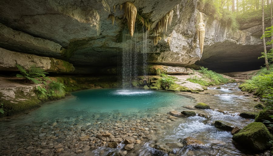
Four Faces of Drought
Droughts come in four main flavours, and they tend to follow one another like dominoes.
It usually starts with a meteorological drought, which simply means less rain or snow than normal. When that shortfall includes the snowpack that feeds rivers in spring, you get a snow drought, the kind researchers describe as creeping because it’s so hard to spot until a crisis is underway.
Next comes soil moisture drought, sometimes called agricultural drought, when the ground dries out and crops and plants feel the pinch.
Last is groundwater, or hydrological, drought. This one plays out underground, as water tables drop and aquifers shrink. It arrives late, because the earth stores water for a long time, and it lingers, because refilling those underground reserves takes far longer than the dry spell itself.
When the Water Below Goes Quiet: Caves, Springs, and Karst
Caves and springs are where the underground world shows its hand. Rain and snowmelt that soak into limestone travel through cracks and channels, and that water feeds cave streams, bubbles up in springs, and slowly sculpts the rock itself. It’s a system built on steady flow. When recharge shrinks and the water table sinks, that steadiness is the first thing to go.
Think of a karst spring as a tap connected to a hidden reservoir. If less water refills the reservoir, the tap runs weaker and may eventually run dry between wet spells. Cave streams can follow the same pattern, thinning to a trickle or disappearing from passages where they once flowed year-round. Because karst drains quickly compared with many other aquifers, these changes can feel abrupt to anyone who knows a particular cave or spring well.
The life inside these dark places feels it too. Many cave-dwelling creatures have adapted to stable moisture and temperature, and they depend on constant dripping and flowing water. When conditions shift, those specialized communities can come under strain. Delicate formations like stalactites and flowstone are built by mineral-rich water, so a long-term drop in supply can slow their growth.
There’s a hopeful side. Cavers, hikers, and landowners are often the first to notice a spring running low or a familiar stream gone quiet. Those everyday observations help build a clearer picture of what’s happening underground, and they’re exactly the kind of local knowledge that better monitoring can use.
How Drought Knowledge Is Put to Work: Monitoring, Water Planning, and Green Solutions
Knowing how droughts unfold is only useful if we act on it, and that’s where the science gets exciting. The research behind the “creeping snow drought” is a good example. By combining multiple satellites with climate reanalysis, researchers can estimate how much usable water sits in snow deposits and pinpoint where it is. That’s a real head start on a problem that, as Ali Nazemi put it, can be very difficult to detect until you’re in the middle of a crisis.
Here’s how that kind of knowledge gets put to work:
- Satellite and climate-data monitoring of snowpack and groundwater, so shortages show up early.
- Early-warning systems that give communities time to prepare before supplies run low.
- Managed aquifer recharge, which guides water back underground when it’s plentiful.
- Water-wise energy and infrastructure planning that treats groundwater as a shared resource.
- Community stewardship, from local observation to everyday conservation habits.
Not everyone agrees on the best mix of tools, and that’s healthy. Engineered approaches, like recharge basins and smarter storage, can move water where it’s needed. Nature-based approaches protect wetlands, forests, and soils that soak up and slowly release water. Policy approaches, such as drought plans and shared water-use rules, help everyone act at the right moment. Most of the strongest plans blend all three.
Underground spaces can play a role too. Tunneling and infrastructure projects can be designed with groundwater in mind, protecting aquifers rather than interrupting them. If you’re curious about why people look beneath the surface for answers, the benefits of going underground make a great starting point. Green technology, including water-efficient energy choices, can ease pressure on the same water supplies that caves, springs, and communities depend on.
The encouraging part is that better measurement leads to better decisions. When we can see a drought coming, whether in the Rockies’ snow or in the aquifers below the Prairies, we have more ways to respond, and more chances to work together.
Droughts and Underground Water: Common Questions
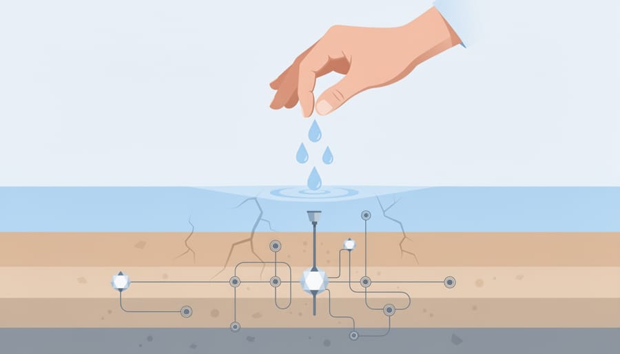
Droughts can feel like a surface story, but the questions people ask most often lead straight underground. Here are the ones that come up again and again.
How much usable water is stored in snow deposits?
Researchers set out to answer exactly that, using multiple satellites and climate reanalysis to calculate how much usable water sits in snow and to pinpoint where it is located. Better maps of that hidden storage give planners a clearer view of what’s available before the melt begins.
Why is this called a creeping drought?
Ali Nazemi used the term because the problem builds so gradually that it can be very difficult to detect until you’re in the middle of a crisis. Nothing dramatic happens on any single day, which is why careful monitoring matters so much.
What can drought do to water supply?
Less snow and rain means less meltwater, drier soils and less recharge, so the water that rivers, wells and springs depend on gradually dwindles. The study on Canada’s snow storage notes that changes in the Rockies could have an outsized effect on a large portion of the population.
Can drought affect caves and aquifers?
Yes. When recharge slows and water tables fall, aquifers shrink, and cave streams and springs that rely on steady flow can weaken or go quiet. Those effects tend to arrive late and linger long after the rain returns.
How can everyday people help?
Small habits like fixing leaks, watering wisely and sharing local observations of springs, wells or streams all add up. Joining community discussions on water stewardship is another great way to get involved.
Curious how people actually reach these underground spaces to study them? Our guide to tunneling basics is a friendly place to start, and it shows how much there is to learn beneath our feet. The more we understand about that hidden world, the better prepared we all are to protect the water it holds.
Droughts don’t stop at the surface. They seep down through soil and rock, lower water tables, and quietly shape the aquifers, springs, and cave systems that Canada’s underground world depends on. The 2021 drought on the Prairies showed how real that reach can be, and the creeping snow drought research shows how much a head start matters. With satellites and climate data, we can now see where water is stored and spot trouble earlier, which gives communities a real chance to plan.
That’s where you come in. SubterraPulse thrives on an engaged community and we’d love to have you in it. Share what you notice near your own caves, springs, and wells. Take part in research opportunities as they come up. Join the conversation about water stewardship and green technology. Small observations add up, and together we can help keep the water beneath us flowing.